
Sacramento ZIP Code Directory by Area
These ZIP rows are the researched operational list for Sacramento addresses. “Sacramento” in the postal city field is broader than the incorporated city. Use the area notes as a first sort, then test the full delivery point with USPS and confirm the municipal boundary with city or county GIS.
| ZIP | Areas Commonly Covered | Post-Office Context | Notes |
|---|---|---|---|
| 95811 | Midtown, Alkali Flat, River District | Sacramento delivery | Central-city residential and business mix |
| 95814 | Downtown, Capitol area | Downtown stations | Government and institutional addresses included |
| 95815 | North Sacramento, Woodlake, South Hagginwood | North Sacramento | City and county edges nearby |
| 95816 | Midtown and east central city | Fort Sutter area | Grid and older building stock |
| 95817 | Med Center, Elmhurst, North Oak Park | Oak Park vicinity | City core and east-south transition |
| 95818 | Land Park, Curtis Park, Southside | Land Park vicinity | Older neighborhoods and grid extensions |
| 95819 | East Sacramento, River Park | East Sacramento | River and campus boundary effects |
| 95820 | Tahoe Park, Colonial Heights, south Oak Park | Southeast Sacramento | City and neighborhood boundary variation |
| 95821 | Arden Arcade and Carmichael postal area | County delivery | Largely outside city; postal Sacramento is not city jurisdiction |
| 95822 | South Land Park, Hollywood Park, parts of Pocket | South Sacramento | City neighborhoods |
| 95823 | Parkway, Valley Hi and north Laguna area | South Sacramento | City and unincorporated interfaces |
| 95824 | Fruitridge and Avondale area | Southeast delivery | City and county jurisdiction must be checked |
| 95825 | Arden Arcade and Cal Expo vicinity | County delivery | Much is unincorporated despite the postal name |
| 95826 | College Greens and Rosemont vicinity | Eastern Sacramento | Rosemont portions lie outside the city |
| 95827 | Rancho Cordova and Rosemont industrial-residential area | County and Rancho Cordova edge | Postal Sacramento may not mean city |
| 95828 | Florin and Vineyard vicinity | South county edge | Substantial unincorporated coverage |
| 95829 | Vineyard and Churchill Downs area | Southeast county | City fringe and unincorporated areas |
| 95830 | Rural southeast Sacramento postal area | Southeast county | Limited city geography |
| 95831 | Pocket-Greenhaven | Pocket station context | Sacramento River boundary |
| 95832 | Meadowview and Freeport edge | South Sacramento | City and county-edge geography |
| 95833 | South Natomas | Natomas | I-80 and river boundaries |
| 95834 | North and South Natomas, Gateway West | Natomas | Rapid subdivision development |
| 95835 | North Natomas, Heritage Park | North Natomas | City growth and annexation-era neighborhoods |
| 95837 | Sacramento International Airport and rural north | Airport and north county | Sparse or transportation uses; verify jurisdiction |
| 95838 | Del Paso Heights, Robla, Hagginwood | North Sacramento | City and county pockets |
| 95841 | Foothill Farms and North Highlands edge | County delivery | Outside incorporated Sacramento |
| 95842 | Foothill Farms | County delivery | Postal Sacramento, generally unincorporated |
| 95864 | Arden Arcade and Sierra Oaks | County delivery | Unincorporated with a Sacramento mailing address |
The ZIP list does not promise a neighborhood-to-station assignment. USPS does not publish a simple authoritative table of every ZIP serving city limits. A ZIP is a carrier-routing construct, so an address result is stronger than a city-and-state list when the task concerns one parcel or person.
Verify a Sacramento ZIP with USPS
Begin with the complete street address in the USPS ZIP Code Lookup, not with “Sacramento” alone. The city-and-state mode lists ZIPs tied to the postal city, including places outside municipal boundaries. An address search tests the particular delivery point. Preserve ZIP+4 only when the research needs the finer delivery segment.
The captured USPS interface below belongs with this check. It can confirm the postal label used for a target address, but it cannot decide whether a permit, assessor record, sheriff record, or city council district belongs to the City of Sacramento.
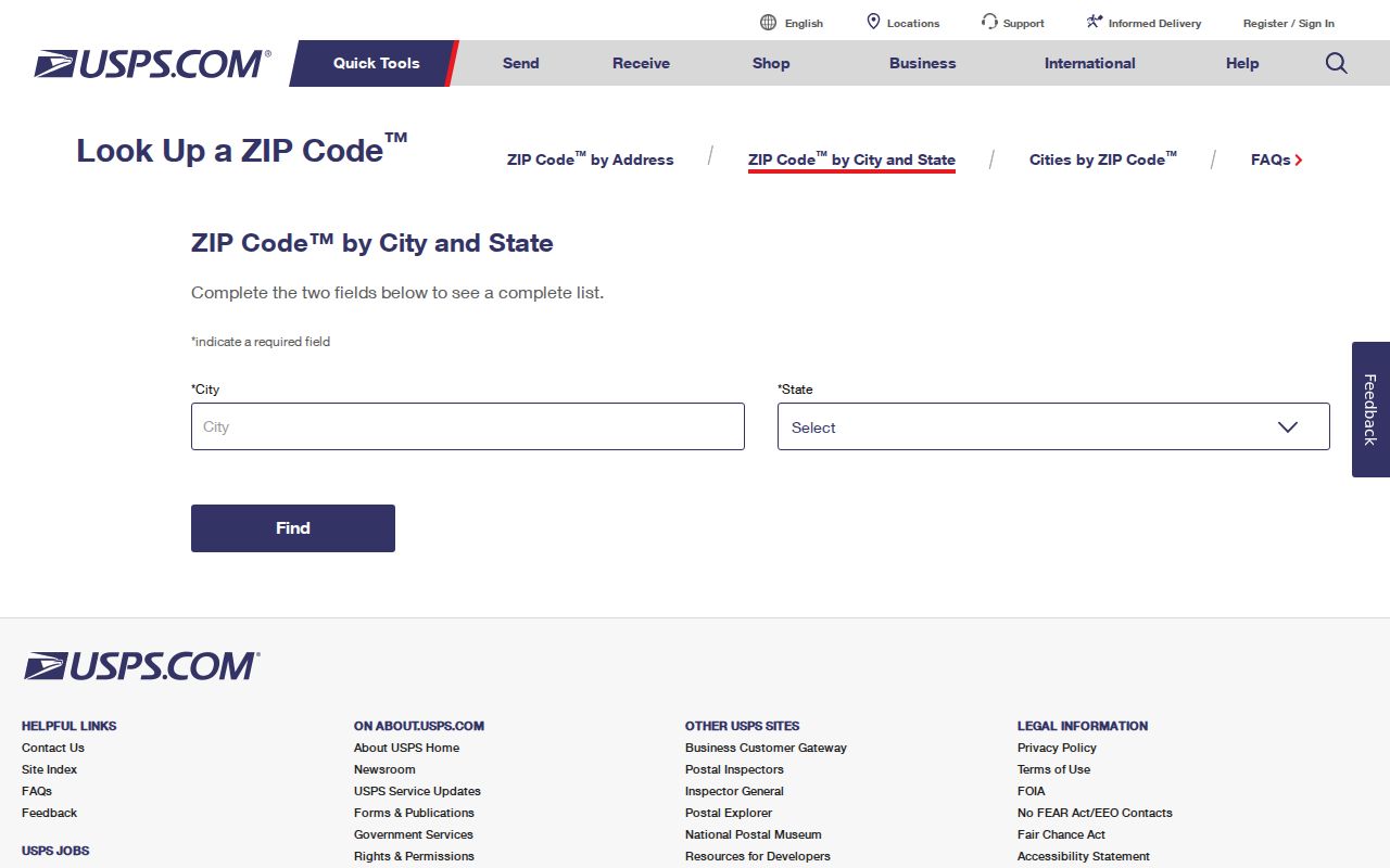
Once USPS returns the address-level result, retain the exact street spelling and ZIP in the research note. That makes later parcel and voter-geography checks less likely to confuse a postal city with a government jurisdiction.
Central Sacramento ZIP Codes Follow the Grid
Central Sacramento uses numbered north-south streets and lettered east-west streets. That grid makes cross streets useful when matching a ZIP to an older directory or Sanborn sheet. ZIPs 95811, 95814, and 95816 overlap Midtown, Alkali Flat, Downtown, Capitol, and the east central grid, where city LILA, county parcels, the Recorder, Central Library, and the Center for Sacramento History can answer different parts of the same question.
Do not treat a central ZIP as a title or occupancy record. An institutional or government address can sit in a central ZIP without being a residence. For an individual, move from postal verification to a normalized situs address and APN, then select the record keeper that owns the fact being tested.
Arden-Arcade Uses Sacramento Postal Names
ZIPs 95821, 95825, and 95864 commonly use Sacramento mailing names while covering unincorporated Arden-Arcade communities. County assessor, recorder, and sheriff channels may apply even when the address says Sacramento. The same caution reaches ZIPs around Carmichael, North Highlands, Foothill Farms, Florin, Rosemont, and the southeast edge.
The City of Sacramento's neighborhood directory adds civic contacts and boundary clues, not a list of every person in the ZIP. Its public entries can help identify an organization to contact, while GIS and the parcel custodian decide whether a target address is inside city limits.
The Sacramento neighborhood association directory is represented in the captured image below.
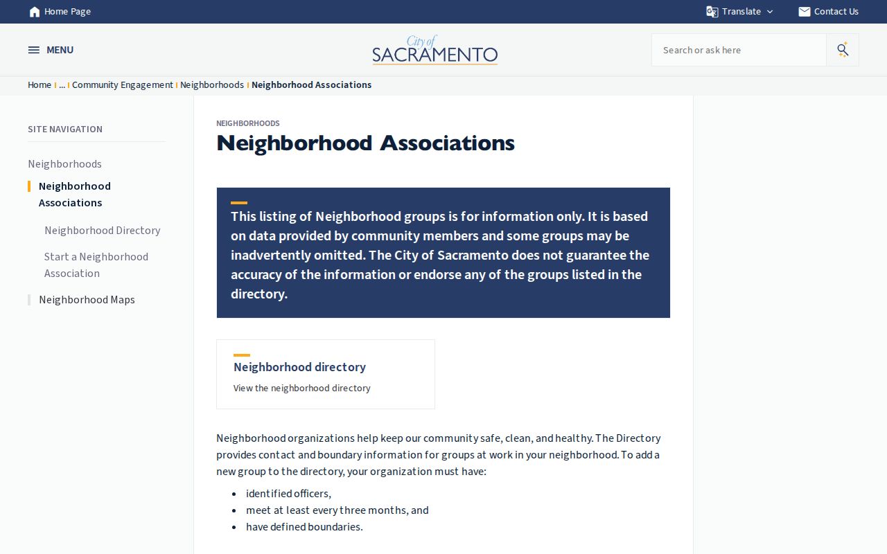
Community-supplied boundary information is useful for contact and context. It should not replace the municipal boundary test or be read as a membership roll.
Sacramento Natomas ZIPs Track Newer Parcels
ZIPs 95833, 95834, and 95835 cover South Natomas, Gateway West, North Natomas, and Heritage Park. Newer subdivisions and master-association records can add context to recent permits and plats. Nineteenth-century city directories may have little relevance to a present Natomas address, so current parcel geometry, legal descriptions, and subdivision records matter more.
Airport ZIP 95837 is a special land-use geography rather than a conventional resident cluster. Confirm the address and jurisdiction before treating a result as part of a Sacramento resident search. A postal ZIP can organize a present-day list, but it cannot be projected backward onto an old directory or 1895 Sanborn resident.
Sacramento South and Southeast ZIP Boundaries
Land Park, Pocket, and Greenhaven in 95818, 95822, and 95831 follow river curves and later subdivisions that interrupt the central grid. Meadowview and Freeport edge addresses in 95832, plus Parkway and Valley Hi in 95823, require a city or county check. Florin and Vineyard ZIPs 95828 and 95829 can include substantial unincorporated coverage.
Rosemont and the southeast edge add another layer. ZIPs 95826-95830 can include Sacramento, unincorporated county territory, or another city. County recorder and assessor records remain common for land records across Sacramento County, while permits and police records follow the relevant municipal boundary.
Note: Use the postal result to locate the delivery route, then use GIS to route the request to the right government level.
Find Residents by Sacramento ZIP Code
A ZIP narrows the geography, but it does not create a public resident roster. A sound ZIP code directory search keeps the postal, parcel, voter, and name layers separate.
- Verify the complete target address with USPS and save the returned ZIP or ZIP+4 when needed.
- Check the City of Sacramento council-district lookup or LILA. If it fails, check Sacramento County GIS before calling the address invalid.
- Search the County Parcel Viewer by normalized situs address, save the APN and geometry, and distinguish situs ZIP from an assessor mailing ZIP.
- For a voter-file request, state the exact ZIP or custom geography and permitted purpose. Do not label every returned registration “City of Sacramento.”
- For a named person, use a permitted name record and treat the ZIP as a filter or corroborating field, not proof of present residence.
Once the ZIP has narrowed the search to a named road, the Sacramento street directory is the appropriate next layer for address-keyed records.
Sacramento Named Records with ZIP Filters
California Unclaimed Property is the clearest official ZIP-capable name search in the research. It does not browse everyone in a ZIP. The name or property identifier comes first, and City or ZIP only narrows the named result.
| Last or Business Name | Required, unless Property ID is supplied. |
|---|---|
| Property ID | Alternative required key for a known claim record. |
| First Name | Optional narrowing field. |
| City | Optional former-holder address field. |
| ZIP Code | Optional former-holder address field. |
| Results | Exact-name results rank first, with similar names after them. |
Unclaimed-property results connect a claimant to property through a former holder-reported address. That address may be old. It is not proof that the person lives in the ZIP now. Sacramento County voter extracts may be scoped by precinct, ZIP, or custom geography only after an approved application, identification, payment, permitted purpose, and signed restrictions. The assessor public viewer remains address/APN oriented and does not promise a bulk ZIP filter.
Sacramento ZIP Code, ZIP+4 and APN Terms
Several address terms look alike but belong to different systems. Keeping them distinct prevents a ZIP code directory from making a claim that only a parcel, legal description, or custodian can support.
- ZIP Code
- A USPS carrier-routing construct. It is not a city boundary or a land title boundary.
- ZIP+4
- A finer delivery segment attached to a base ZIP when the exact route matters.
- PO-box ZIP
- A code serving post-office boxes. It should not be treated as a residential geography without USPS confirmation.
- Unique ZIP
- A code that can serve a high-volume institution or special address type rather than a resident cluster.
- APN
- Assessor's Parcel Number. It identifies parcel geography and is more durable than a postal label when records conflict.
Situs address locates the property. Mailing address routes assessor correspondence. Legal description identifies the land even when a postal name, street label, or parcel configuration changes. Modern ZIPs began with the postal ZIP system in 1963, so they should not be projected backward onto an 1895 Sanborn sheet or an early Sacramento directory.
ZIP Boundaries and Sacramento City Limits
A postal Sacramento address can be in Arden-Arcade, Florin, Rosemont, Foothill Farms, Rancho Cordova, or another county or municipal setting. A ZIP code directory can show the postal pattern, but city services follow the incorporated boundary and county services follow unincorporated territory. Neighborhood labels add context. None is interchangeable with the legal boundary.
Boundary check. Confirm USPS delivery geography first, then check City of Sacramento or Sacramento County GIS, and only then select the permit, assessor, court, voter, or public-record channel.
That order protects a search from a common Sacramento error: using a postal name to assign a parcel, voter file, crime layer, or city record to the wrong government. ZIP evidence is useful when its limits are named clearly and its result is confirmed at the address level.