
Trace a Sacramento Address
A Sacramento street directory is strongest when each address is treated as a starting key, not as proof of who is inside a home. Put the situs address, meaning the address tied to the parcel, into the Sacramento County Assessor Parcel Viewer. Save the APN, or Assessor’s Parcel Number, before moving to a different record set. The APN lets a researcher return to the same land when a street label, mailing address, or old directory spelling changes.
The local chain follows a clear order. It moves from an address to an APN, from the APN to an owner request, from that owner to a deed, and then from land records to context about people and buildings.
- Search the normalized address in Parcel Viewer and record the APN, situs, map position, and visible parcel facts.
- Request owner and mailing-address fields from the Assessor counter or through NextRequest, because owner names are withheld from the web result.
- Use the owner name and any Recorder reference to search the Clerk/Recorder party index, then order or inspect the needed instrument.
- Run the same address or APN through LILA and city permit tools to add land-use, project, and date context.
- For listed past occupants, read the reverse street section beginning in 1914, then use earlier alphabetical directories and census schedules.
- Use voter information only through the individualized or approved county channels described below, and compare records without publishing a street roster.
That sequence keeps title, land use, listed occupancy, and registration evidence in their proper lanes. It also shows where a search ends. A missing name is not a finding that nobody lived at the address.
Sacramento Street Record Coverage
Several Sacramento custodians hold address-linked material, but their records do not have the same meaning. The Assessor connects land to a parcel. The Clerk/Recorder indexes title events by party and year. City tools describe a place and its permits. Directories preserve names that were listed at a particular time. Voter access is controlled by California rules and is not an open street search.
| Record Set | Keeper | What It Shows | Access |
|---|---|---|---|
| Parcel Viewer | County Assessor | APN, situs, values, characteristics, geometry | Free address/APN search; owner fields offline |
| Full assessment roll | County Assessor | Owner, mailing destination, exemptions, land-use codes | Lobby computer or electronic NextRequest |
| Recorded index and instrument | Clerk/Recorder | Parties, date, document type, reference, legal description | Index since 1849; image by office or order |
| County and City GIS | Assessor and City IT | Adjacent parcels, map layers, address/APN context | Free map tools and parcel clicks |
| LILA and permits | City departments | Zoning, overlays, project dates, applicants, contractors | Online tools or department request |
| Voter information | Secretary of State and Elections | Individual status or permitted file fields | Personal lookup or approved paid request |
| Reverse directories | Center for Sacramento History | Listed people and businesses by numbered address | Digital and on-site volumes, beginning 1914 |
| Sanborn maps | Library and Library of Congress | Building footprint, use, materials, and address context | Free 1895 atlas or library database |
Use the table as a handoff map. A parcel result can lead to a deed, while a reverse directory can lead to a former listed occupant. Neither source turns an address into a complete household list, and a permit applicant is not automatically an owner or resident.
Sacramento Street Directory Parcel Fields
The Parcel Viewer is the modern address anchor for a Sacramento street directory. Its web search accepts either an address or an APN. Normalize directional terms and street suffixes before trying variants, and keep the county format exactly as returned. Map navigation then lets the researcher inspect the parcel geometry and see the surrounding land without treating the map as a list of people.
The official Parcel Viewer instructions explain the map and its limits. The page is useful context for the address-to-APN step.
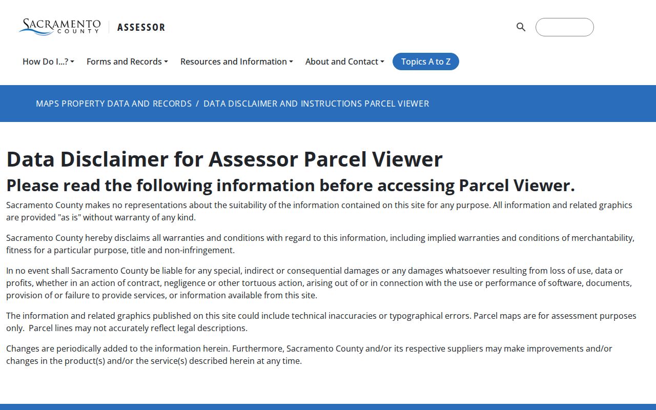
The screenshot’s subject is the county viewer guidance, which helps keep a map click separate from an owner lookup. The visible online parcel record is a geographic lead, not a full assessment file.
| Address | Text or autocomplete search key; use the situs or property address. |
|---|---|
| APN | Text search key; retain the Assessor’s Parcel Number for later requests. |
| Map navigation | Pan, zoom, or click parcel geometry to inspect nearby parcels. |
| Layers and basemap | Map controls vary; parcel context remains the central use. |
Visible results commonly include the APN, situs address, assessed values, limited residential or commercial characteristics, and map geometry. They do not provide owner names online. That missing field is a deliberate privacy limit, not a failed search.
Note: The Parcel Viewer shows a parcel context, while the Assessor supplies owner fields withheld from the public web result.
Why Sacramento Owners Stay Offline
The Sacramento County public assessor-record explanation distinguishes the web viewer from the full public roll. Owner and mailing-address fields remain available through the office, while the online viewer withholds owner names because of privacy concerns. A Sacramento street directory therefore needs an offline step when the task is to connect an APN to a current owner.
The Assessor’s lobby computers are available Monday through Friday, 8 a.m. to 5 p.m. An electronic request through NextRequest is another documented route, and the research notes that electronic records requests are free; hard-copy requests follow the office fee schedule. Request the owner and mailing fields for the APNs already identified rather than asking for an undefined list.
The mailing address is where the roll sends correspondence. It may differ from the situs because it can be a separate address, a business, a trust, a manager, or a post-office box. A match between mailing and situs can support a careful hypothesis about ownership, but it does not prove that the owner lives there.
The public-field reference also identifies other assessment information, including exemptions, tax-rate area, zoning and land-use codes, Recorder book/page references, maps, and property characteristics.
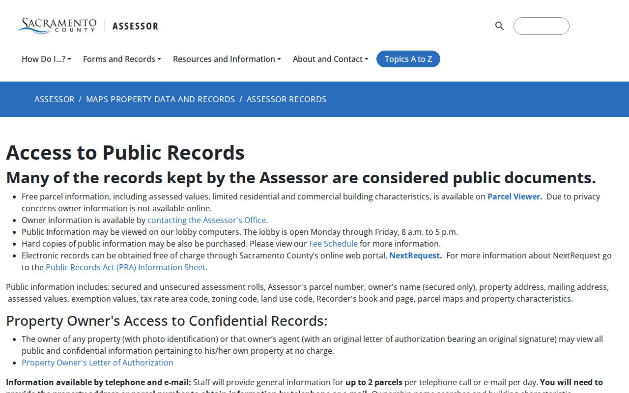
This assessor-record view reinforces the key split: a street search can start online, but the owner portion may require a counter visit or focused electronic request.
Address clue, not residence proof. Treat a mailing address as a delivery destination. Use deeds, directories, and other dated records before describing a person as connected to a household.
Browse Sacramento Parcels by GIS
A whole-street search is a map task. In the Parcel Viewer, zoom until parcel lines are visible, click the subject polygon, save its APN, and then click parcels that touch the sides, rear, or front across the right-of-way. Repeat the same request for each APN when owner fields are needed. The viewer does not create a bulk online owner list, so a street is walked parcel by parcel.
The City’s GIS map tools page adds address lookup, LILA, a council-district lookup, a map gallery, a crime map, and links to county parcel tools. It is a useful city-level companion to the county map, especially when a property sits near a service or boundary line.
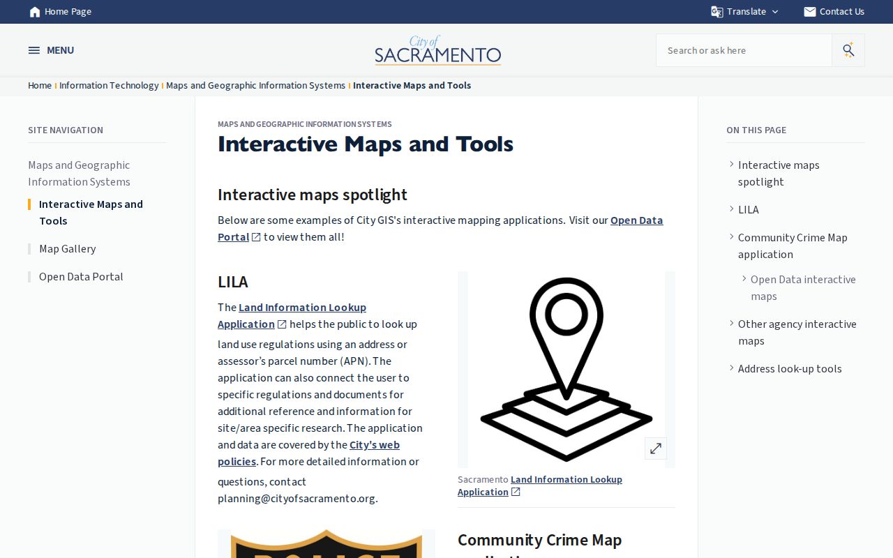
The city GIS view supplies place and service context around a Sacramento address. It does not identify every household member, and an adjacent parcel on the map is not evidence that its owner lives there.
Keep a small working log with the address searched, APN saved, adjacent parcel direction, and date of access. That habit makes it easier to spot a split parcel, a shared driveway, or an address that is drawn across a boundary rather than assume the street label tells the whole story.
Sacramento Street Directory Deed Chain
Once the assessor step supplies an owner name or Recorder book/page reference, move to the Sacramento County recorded-document index. The free index reaches back to 1849 and searches a party name with a recording year. It is metadata only. The web result does not show document images, complete legal descriptions, signatures, consideration, or mailing addresses.
The Clerk/Recorder copy instructions explain how to order or inspect an instrument. A completed order can be sent by mail or fax, a researcher can visit either office location, and the office can be reached at 916-874-6334. The research lists a noncertified copy at $8 for the first page plus $1 for each additional page, and a certified copy at $9 for the first page plus $1 for each additional page.
These two Recorder pages use slightly different year language: the index states coverage since 1849, while the copy page describes documents recorded since 1850 as viewable at either office. Preserve that distinction when explaining an older search.
The recorded-document index page shown here is the party-and-year starting point for a Sacramento deed search.
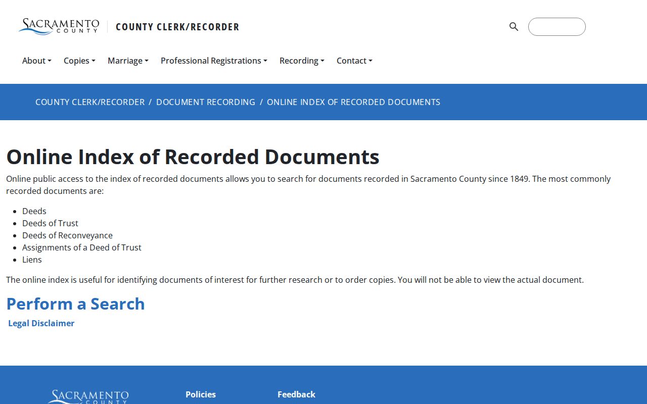
The index screenshot shows the party-and-year route. It helps identify the instrument to request, but it is not a substitute for the recorded document.
The recorded-document copy-order page is the practical fallback when the index points to a deed, deed of trust, reconveyance, assignment, or lien.
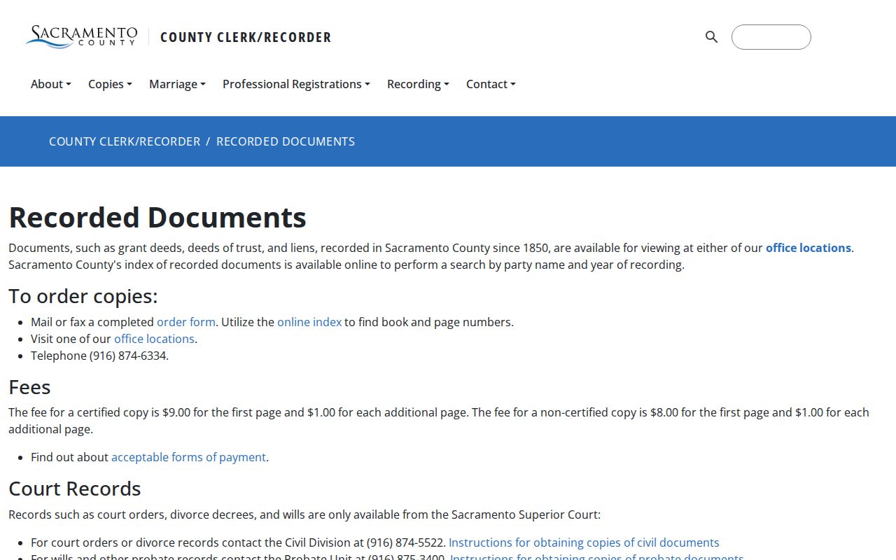
The copy-order view connects the street search to the actual instrument, where the legal description and parties can be checked against the APN rather than guessed from a modern address.
- Search the known owner as grantee in the likely acquisition year.
- Record the grantor, recording date, document category, and book/page or instrument number shown.
- Use the instrument’s legal description to confirm the land, especially if the address has changed.
- Search the earlier grantor as grantee to find the prior transfer.
- Repeat until the 1849 edge or a parcel split requires maps and older descriptions.
- Grantor and grantee
- The grantor transfers an interest; the grantee receives the interest named in the instrument.
- Chain of title
- The linked sequence of recorded transfers that explains how an interest moved from one party to another.
- Legal description
- The land description used in the instrument; it can remain useful when a street address is corrected or renamed.
- Index versus image
- An index points to a record. The instrument image or paper copy contains the text that must be read and verified.
Note: Online Recorder coverage reaches 1849, while the copy page describes documents recorded since 1850 for office viewing.
Sacramento Reverse Street Entries after 1914
For past occupants, Sacramento’s directory system changes in 1914. Volumes from that point begin a reverse section arranged by street name, house number, and then the listed resident or business. The switch makes a street directory useful as a by-address research tool, but it is not a statement that a person owned the parcel or that every household appeared.
The broader collection covers Sacramento area city directories from 1850 through 1990, not every year, at the Center for Sacramento History. Reverse sections fall within that run. The finding aid describes 196 volumes and 29 reels, with digital and on-site research routes. Earlier than 1914, start with an alphabetical name entry, a known owner, a census schedule, or a deed, then test the address against the volume.
Entries can contain a person or business name, residence or business address, occupation, business address, and often a spouse. Some early books say where a newcomer came from. Later books can add a telephone number, and the research guide notes owner or residence notation and volume-specific abbreviations. Read the key for the particular edition. An absent name means only that it was not listed in that edition.
The digitized shelves and the way to read a full entry are treated on the Sacramento city directory page. A street search should borrow the reverse-section method without rebuilding the complete collection history.
Sacramento Street Records in LILA
LILA accepts an address or APN and ties a Sacramento site to zoning, a general-plan designation, overlays, and applicable land-use rules. City permit and inspection records can add a permit number, project description, dates, applicant or contractor, and scope when those fields are public. Code cases may be obtainable by address even when a named responsible party is redacted.
Use the online permit tools or make a department request when the web search is incomplete. If a city file, council document, or older administrative record is not in the City public records library, the City Clerk’s public-records channel is the documented fallback. A request is stronger when it names the address or APN, record type, department, and date range.
LILA and permits describe the place and the work. An applicant may be an owner, contractor, architect, agent, or other participant. Keep that role separate from the current owner in the county assessment roll and from a listed person in a directory.
Sacramento Grid and Postal Edges
Central Sacramento’s numbered north-to-south streets and lettered east-to-west streets make cross streets useful when matching a directory, Sanborn sheet, or parcel map. Outside the original grid, subdivision names, curved roads, annexed districts, and unincorporated pockets make the APN, lot and block, and legal description more durable than a postal line alone.
A Sacramento mailing city is broader than the incorporated city. Postal areas such as 95821, 95825, and 95864 commonly reach unincorporated Arden-area communities, while other ZIP areas touch city and county edges. Route a permit or land-use question by the actual jurisdiction shown in City and County GIS, not by the word Sacramento in a mailing address.
No single authoritative citywide street-renaming or street-renumbering concordance was located in the research. No reliable single year should be supplied for a citywide change. When an old directory address does not match a current search, bridge it with cross streets, subdivision lot and block, legal description, historic maps, and deed references.
Note: No official citywide street-renumbering concordance or single historical year was located, so older addresses need map and deed cross-checks.
Sanborn Context for Sacramento Streets
The Library of Congress 1895 Sacramento Sanborn atlas contains 44 sheets. Sanborn pages can show a building footprint, construction material, use, outbuildings, and the address context around a block. They help test whether a lot, structure, or street pattern existed at a past date.
Other local editions are available through the Sacramento Public Library’s Digital Sanborn Maps platform, with library-card or database access terms that vary. Use the sheet index and map key, then compare the footprint with the APN, directory entry, permit history, and legal description.
Sanborn maps do not name every resident. A label about a building’s use is not a person’s name, and a footprint is not proof of ownership. Their value in a Sacramento street directory is environmental: they can explain why an old address trail bends, splits, or stops at a changed structure.
Sacramento Street Records: Owners and Voters
Do not merge four different roles. The assessment roll records an owner and a mailing destination. A deed records parties to a title event. A permit identifies people involved in a project. A reverse directory records a person or business listed at a place. Each is dated evidence with a different purpose. A Sacramento street directory becomes more accurate when those labels remain visible in notes and citations.
California My Voter Status is an individualized service. Its form uses first name, last name, date of birth, and system-dependent driver-license, California ID, or Social Security number digits. It can confirm a voter’s own registration information, party preference, vote-by-mail status, polling or vote-center information, and election participation information. It is not a public name directory and does not permit browsing a street.
A full Sacramento County voter file requires an approved application, requester identification, a permitted election, scholarly, journalistic, political, or governmental purpose, and payment. The application can be submitted in person or by mail to Voter Registration and Elections, Campaign Services, 7000 65th Street, Suite A, Sacramento, CA 95823. The county lists a 916-875-6276 contact, email support, delivery within 72 business hours for approved orders, and separate standard, custom, and activity-status prices. Use the county voter-file instructions for the current application and permitted-use terms.
A voter extract may be scoped by an approved geography, but it is not an unrestricted “who lives on this street” product. Do not republish a block roster. Registration can lag a move, and the file does not reveal ballot choices.
Limits on a Sacramento Street Directory
A careful street directory cannot reveal every person connected to an address. Public sources do not supply unlisted occupants or household members, utility customers, delivery history, or protected DMV addresses. The federal Driver’s Privacy Protection Act limits motor-vehicle personal data. Voter signatures, Social Security numbers, and driver-license identifiers are withheld, and Safe at Home participants use a designated mailing address rather than a public residential location.
The Safe at Home program is one reason a current address may be absent or deliberately different. A gap should be reported as a gap. Do not fill it with a commercial compilation, a guess from a mailing label, or a claim based on a neighbor’s record.
California records are available for personal, lawful research such as family history, house history, property verification, and civic curiosity. Address data must not be used to stalk, harass, threaten, or intimidate anyone. California Penal Code §646.9 and Code of Civil Procedure §527.6 provide relevant protections against stalking and civil harassment.
Lawful use. Sacramento address records support careful personal research. Using a street search to stalk, harass, threaten, or harm a person is prohibited and can trigger California legal remedies.